Roadcuts

Near Marathon

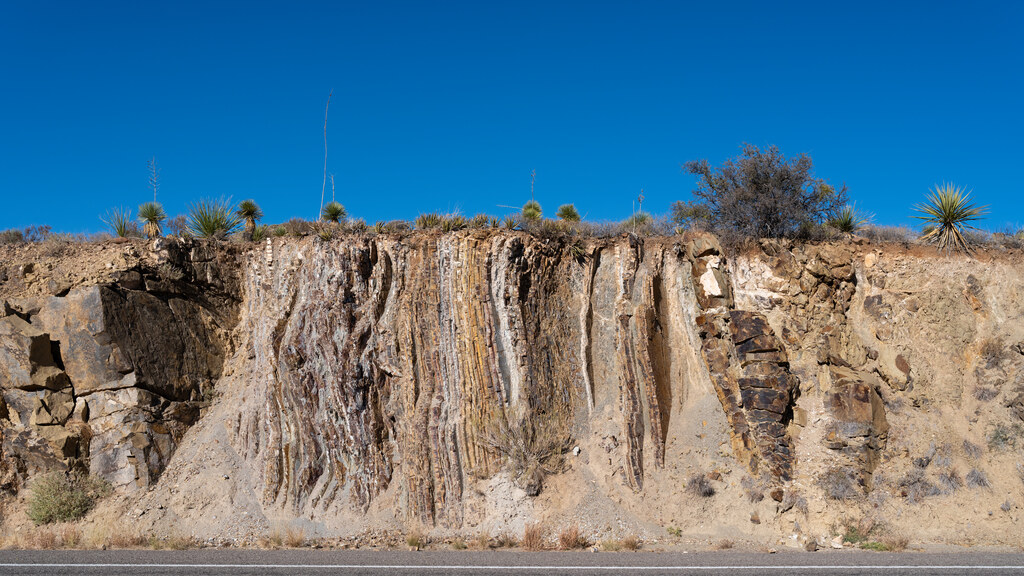
Roadcut exposing vertical folded rock beneath a clear blue sky

East of Marathon, U.S. 90 cuts through deep-water sedimentary rocks deformed during the continental collision that assembled Pangaea. The exposures preserve slumps and sandstone injections formed while the sediment was wet, together with later folds, faults, and boudinage. Their juxtaposition records the Marathon basin’s change from an unstable submarine slope to a compressed fold-and-thrust belt.
More Near Marathon

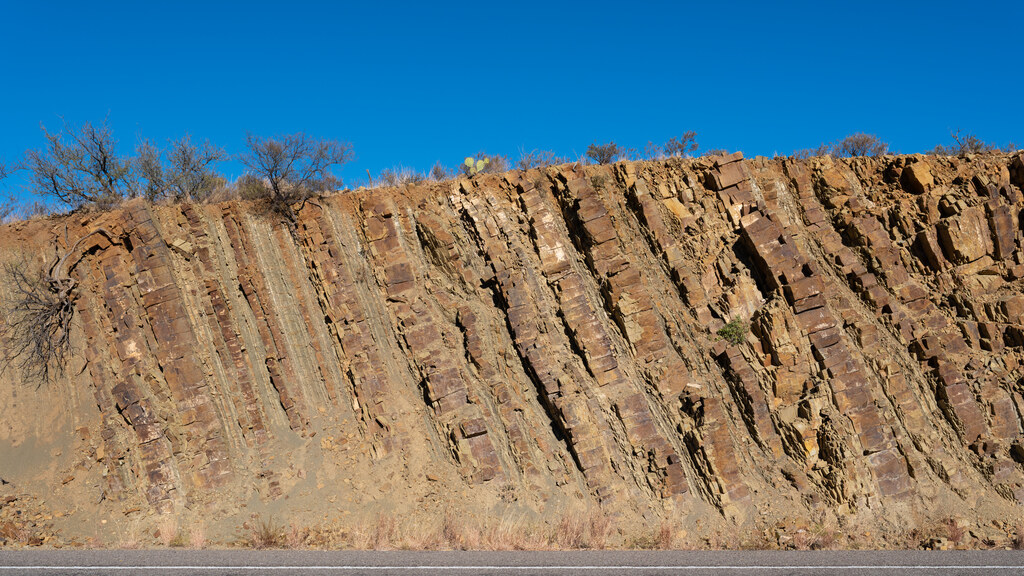
Steep rust-colored rock strata in a roadside cut

These six views follow the roadcut as its structure changes from dense gray lamination to broader rust-colored beds. Repeated oblique layers, fractures, and folded pale bands show how deformation varies over short distances along the highway. Sparse shrubs and isolated trees mark the exposed rock’s scale and the thin boundary between cut face and desert surface.