Text
Geology of Agua Fria Mountain and the Country Immediately North
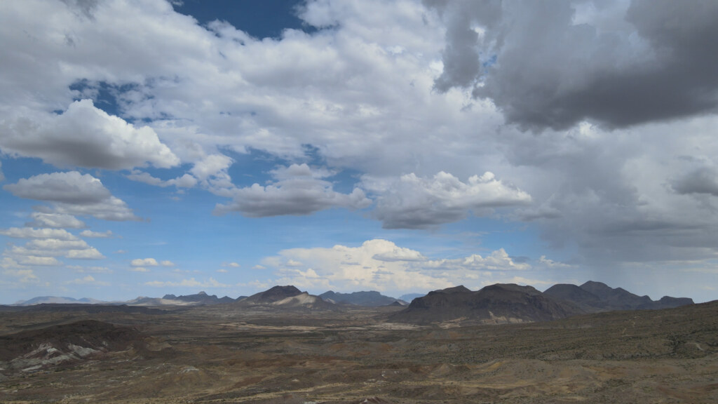
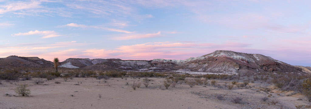
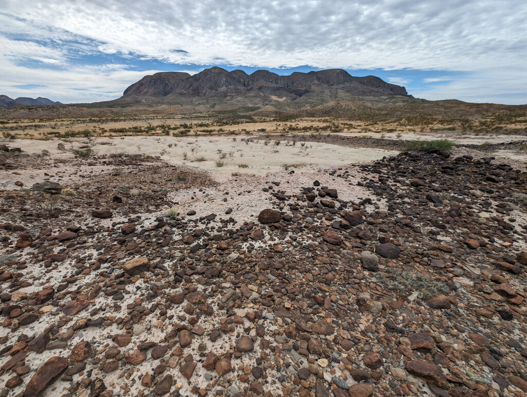
Agua Fria Mountain consists of resistant, soda-rich rhyolite emplaced at shallow depth into older sedimentary rocks. A 1953 field study described the body as stocklike and favored a bysmalith interpretation, under which magma raised a fault-bounded roof before solidifying. Erosion has removed the presumed roof, leaving the interpretation dependent on mapped faults, uplifted sedimentary blocks, steep margins, and the mountain’s form.
Potassium-argon measurements associate rhyolites from Agua Fria Mountain with the region’s Oligocene Mitchell Mesa rhyolitic episode, whose accepted age is 32.3 ± 0.7 million years. The rhyolite is much younger than the Cretaceous rocks around it. Its emplacement locally tilted, fractured, and baked those older beds, while later erosion left the harder intrusive rock standing above the surrounding country.
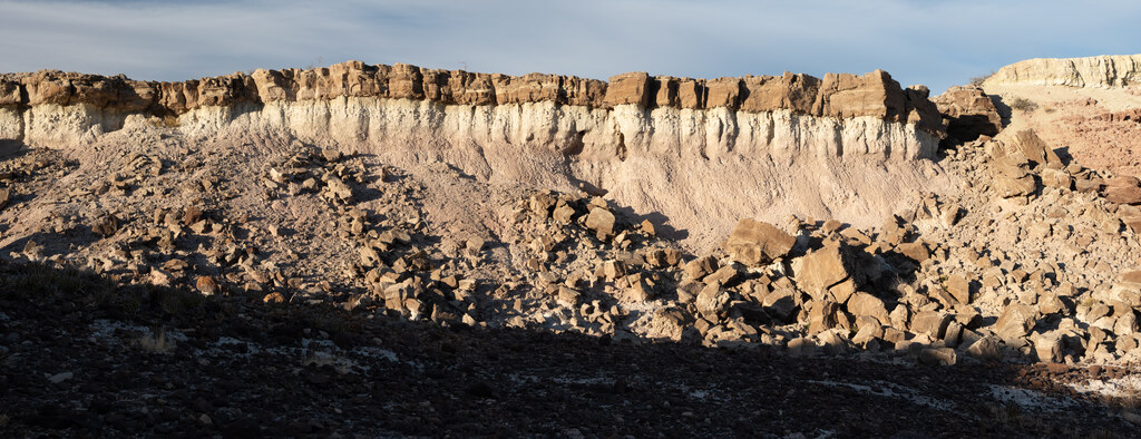
The older sedimentary section formed while a shallow Cretaceous sea repeatedly covered the region. Marine limestone, marl, and shale were followed by the Aguja Formation, which records shoreline, deltaic, shallow-marine, and coastal-plain environments as the sea withdrew. Resistant limestone and sandstone now form ledges and ridges; shale and mudstone erode into gentler slopes and drainage basins.
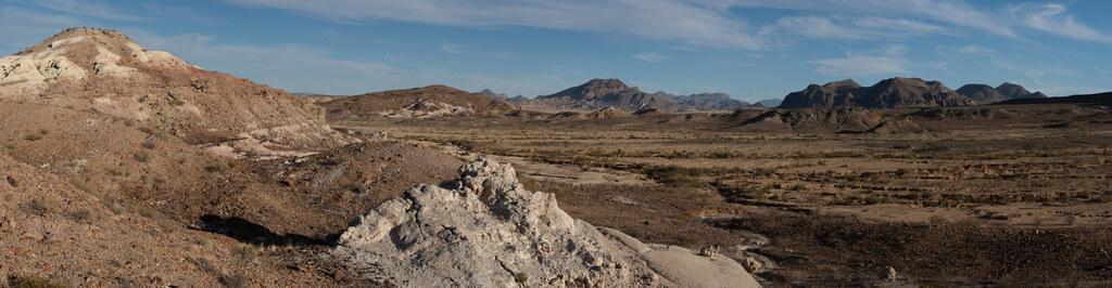
The most distinctive rocks immediately north and northwest of Agua Fria Mountain belong to the Devil’s Graveyard Formation. This roughly 500-meter-thick succession accumulated from the middle Eocene into the early Oligocene and rests unconformably on eroded Cretaceous strata. It records rivers, floodplains, ponds, shallow lakes, soils, and repeated volcanic eruptions in the Tornillo Basin around Agua Fria.
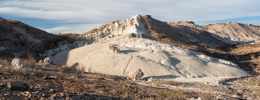
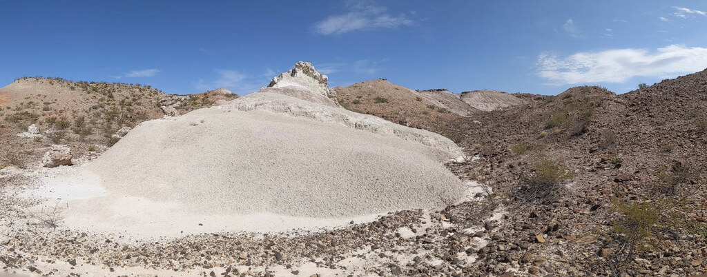
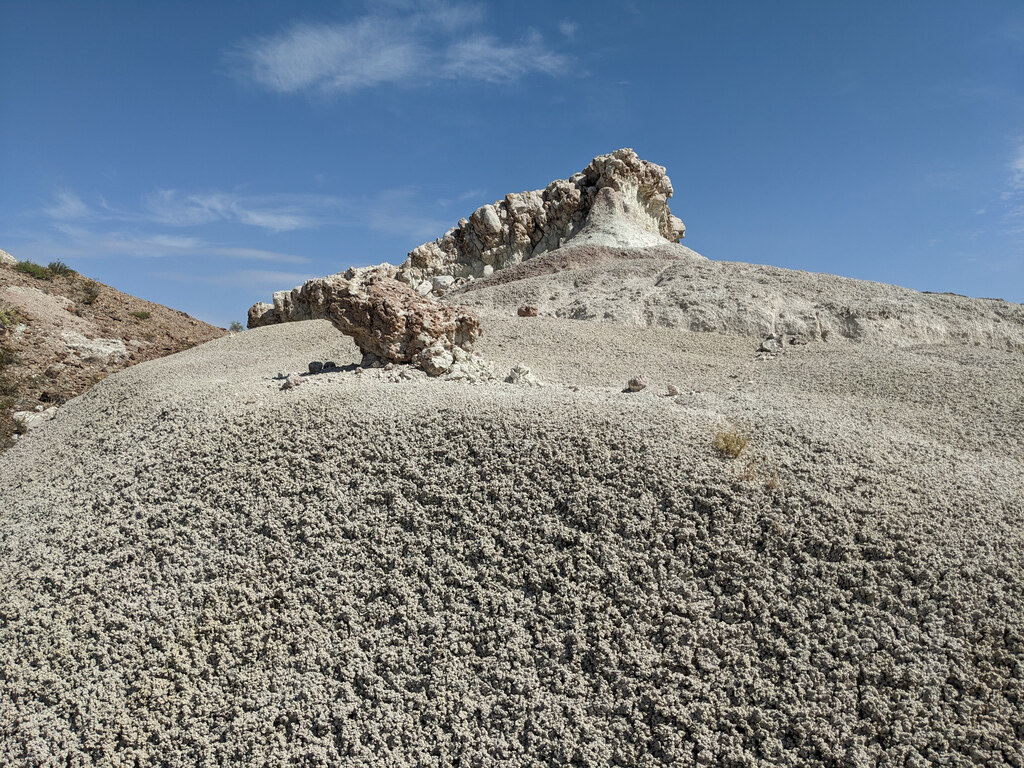
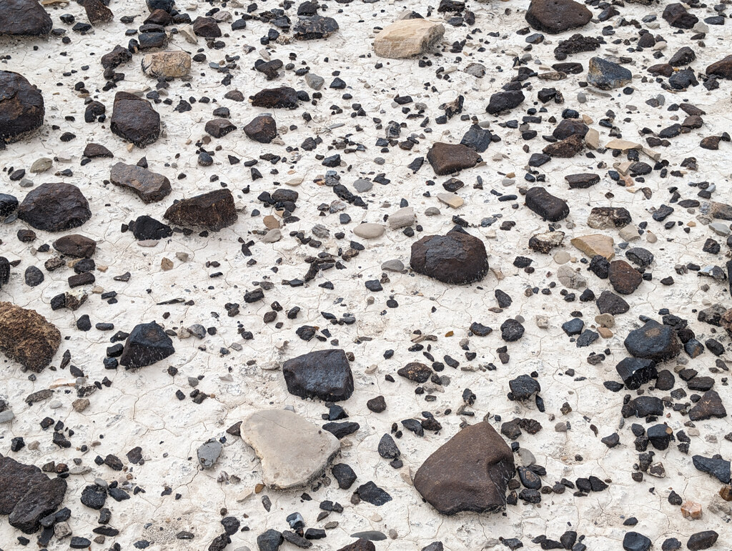
The colorful badlands include ash-fall tuffs, reworked volcanic ash, bentonitic clay, tuffaceous mudstone and sandstone, channel sandstone, clay-pebble conglomerate, paleosols, and local freshwater limestone. Volcanic glass altered to clay after deposition. Differences in the original ash, oxidation, drainage, and soil formation produced white, gray, yellow, orange, red, purple, and greenish beds. Soft clay-rich layers form smooth slopes, while cemented sandstone, tuff, conglomerate, and limestone remain as benches, ribs, and small caps.
The lower Devil’s Graveyard section preserves a well-dated middle Eocene landscape. Tuffs associated with the Whistler Squat fossil locality have ages of 45.04 ± 0.10 and 44.88 ± 0.04 million years, while the underlying Alamo Creek Basalt has an age of about 46.8 million years. Streams crossed broad floodplains, shallow lakes formed intermittently, and soils developed during pauses in deposition. Fossils occur in channel, overbank, and soil deposits closely associated with datable volcanic beds.
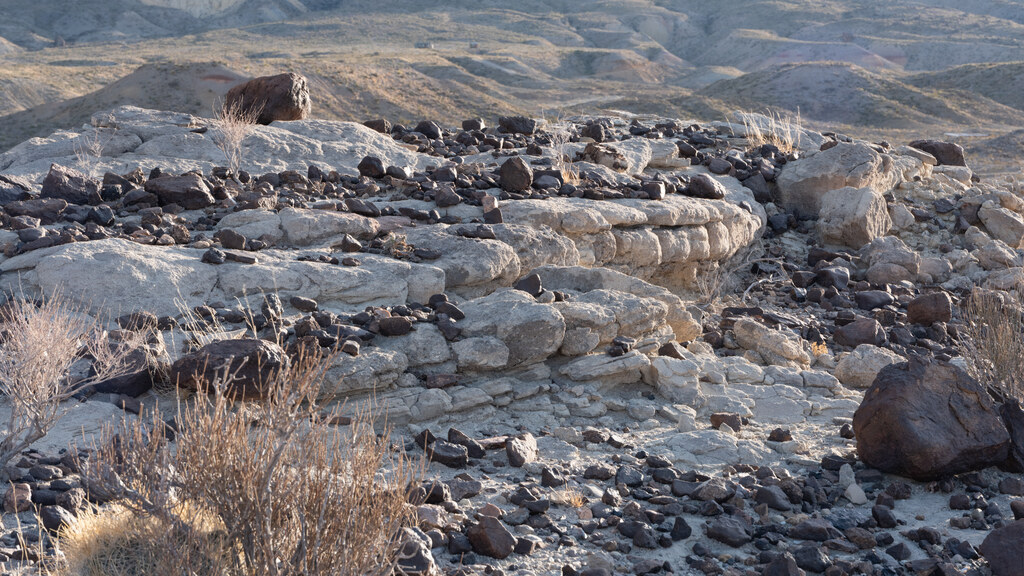
Petrified wood also occurs in the Agua Fria country. The 1953 Agua Fria survey reported fragments in lower Tertiary sandstone-breccia near the base of the succession northwest of Agua Fria Mountain, where Eocene streams may have redeposited wood eroded from older Cretaceous formations. A study of Late Cretaceous conifer wood from southeastern Terlingua Ranch identifies cupressoid or podocarpoid wood, Cupressinoxylon, and Taxodioxylon in the Aguja Formation. That study did not examine the reworked fragments near Agua Fria Mountain.
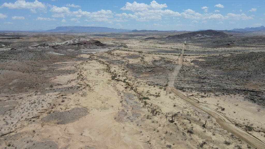
Faulting later divided the sedimentary and volcanic succession into tilted and displaced blocks. Northwest-trending normal faults are common, and the Tascotal Mesa fault, the principal structure in a broader transfer zone, crosses the country north of Agua Fria Mountain. These structures helped determine the positions of valleys, escarpments, tilted beds, isolated mesas, and resistant erosional remnants.
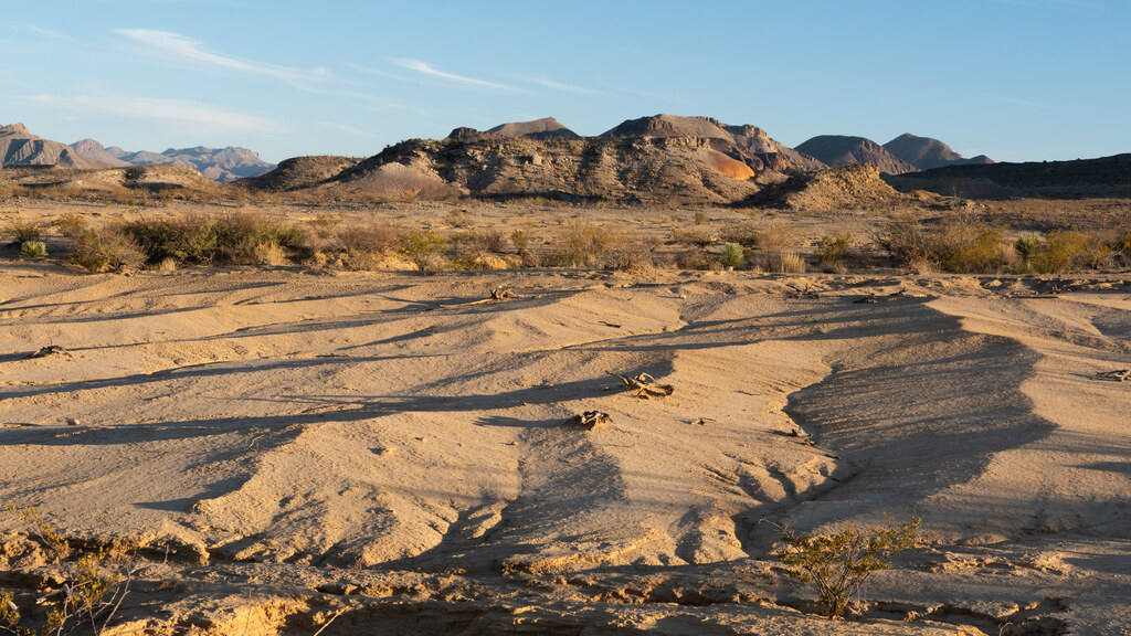
The local sequence runs from Cretaceous marine and coastal sedimentation through uplift and erosion, Eocene river, lake, soil, and volcanic-ash deposition, alteration of ash-rich sediment, Oligocene rhyolitic intrusion, faulting, tilting, and prolonged erosion. The present landscape reflects the contrast among three principal rock assemblages: older Cretaceous marine and coastal strata, colorful ash-rich Devil’s Graveyard deposits north of the mountain, and the younger intrusive rhyolite of Agua Fria Mountain. Their differing composition, structure, and resistance to erosion produce the area’s mountain slopes, variegated badlands, layered benches, broken mesas, and fault-guided valleys.
References
- Geology of the Agua Fria Quadrangle, Brewster County, Texas Maps the local stratigraphy and faults, describes Agua Fria Mountain’s soda rhyolite, favors a bysmalith interpretation for the intrusion, and reports petrified wood in basal Tertiary sandstone-breccia northwest of the mountain.
- Compilation of potassium-argon ages of Tertiary igneous rocks, Trans-Pecos Texas Compiles isotopic measurements from Agua Fria Mountain and related Mitchell Mesa rhyolites and gives an accepted age of 32.3 ± 0.7 million years.
- Devil’s Graveyard Formation (new), Eocene and Oligocene age, Trans-Pecos Texas Defines the formation in the Agua Fria–Green Valley area and describes its volcaniclastic sediments, fluvial and lacustrine deposits, members, thickness, and contacts.
- Geochronological and Taxonomic Revisions of the Middle Eocene Whistler Squat Quarry (Devil’s Graveyard Formation, Texas) and Implications for the Early Uintan in Trans-Pecos Texas Dates two tuffs associated with the Whistler Squat fauna and the underlying Alamo Creek Basalt, placing the fossils in a precise middle Eocene sequence.
- Late Cretaceous Conifer Woods of Terlingua Ranch, Brewster County, Texas Identifies three conifer-wood types from Aguja Formation specimens on southeastern Terlingua Ranch, separate from the reworked fragments reported near Agua Fria Mountain.
- Tascotal Mesa transfer zone—An element of the Border Corridor transform system, Rio Grande rift of West Texas and adjacent Mexico Places the Tascotal Mesa fault within a larger transfer zone and documents its strike-slip and dip-slip movement, magmatism, and later deformation.